Just a quick, local geocaching trip today – to South Hill Park, on the southern edge of Bracknell, for a walk around the park and an attempt at an AdLab cache.
South Hill Park is a large, attractive historic park, open to the public every day of the year. It has landscaped gardens, woodland, and two large lakes, surrounding a Grade II listed mansion which contains two theatres, a cinema, art studios and galleries, plus a café/restaurant.
We’ve walked round the grounds many a time, especially during the pandemic lockdown in 2020, when we sometimes used it for our ‘permitted exercise’ after food shopping at the nearby superstore; it was a different place to visit, and most welcome for that reason. But we hadn’t been there all that often since.
The Rings of Pachamama
We set off along the path by the North Lake, in front of the mansion. Part way along, we came to some large white concrete rings, some partially embedded in the ground. I’ve always assumed they were seating, or something for fitness exercises – nope, I was wrong – they are a sculpture, the Rings of Pachamama , specially made for South Hill Park by sculptor Lucy Strachan.
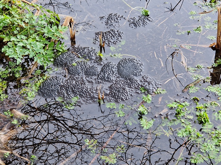
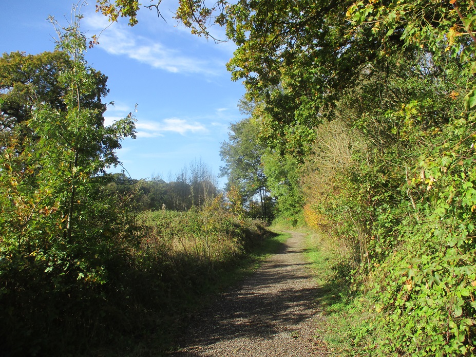
We turned onto a boardwalk which runs across a wetland area through reed beds and ponds. Spring growth was getting under way and we saw lots of frogspawn!
Chasing Pokemon …
Passing a lovely bank of miniature daffodils – and several groups of Pokemon chasers, staring at their phones – we followed the path round the narrower, tree-lined South Lake, on the other side of the mansion.
Crossing the bridge half-way along the lake, we walked through woodland, back towards the house. There’s an amphitheatre here, we’ve been to several outdoor theatrical events here on past summer evenings, some traditional theatre, some more ‘experimental’.
Entering the formal gardens, we descended the steps into the Italian Garden, all neat, clipped hedges and formal planting, then out along the terrace. And that completed our AdLab – and our tour of the grounds, too. As so often with geocaching, we’d learnt new things about a familiar place …
Just five days previously we had visited Wokingham in perishingly cold weather and undertook an ad lab in Wokingham Town Centre.
Simultaneously, we tried to undertake two multi-caches which shared much of the ad lab’s route.
A combination of the cold, confusion over which cache we were doing, and the pressure to return to our car before our car parking charge ran out -left us annoyed and frustrated.
Mr Hg137 knew the Town Centre well – he’d lived in the town for 30+ years, Mrs Hg137 had a reasonable knowledge too. And we still messed up.
We decided once the temperature rose (admittedly it was only a degree or two), and some improved planning of a walking route we would return.
So five days later, we started again on the two multi-caches.
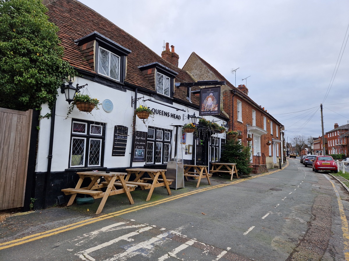
One of the two multis took us on a glorified pub crawl around the Town Centre. Wokingham was once famed for having the most pubs per head of population. Sadly a combination of Wokingham’s population growth and the economic downturn of pubs, has meant this title has been lost.
Our caching walk took us to several pubs that remain and at each pub, we had to gather numbers from either a feature of the pub itself, or a nearby piece of street furniture.
Simultaneously we followed a trail of blue plaques. The ad lab we had completed visited 5 blue plaque locations, but the multi took us to many more. Indeed the cache owner didn’t let on that the waypoints were at ‘blue plaques’ as he referred to them as ‘Wotsits’ in the cache description. What made this multi harder, was that at every plaque/waypoint we had to find a number, and use that as a basis for the coordinates for the next plaque/waypoint. We had to take great care on checking every number we found, as we didn’t to miss a blue plaque.
In the end we collected a variety of numbers for both the pubs and plaques, calculated coordinates and found both ‘final’ caches. One was hidden in a set-back location, the other in a high visibility location within a car park.
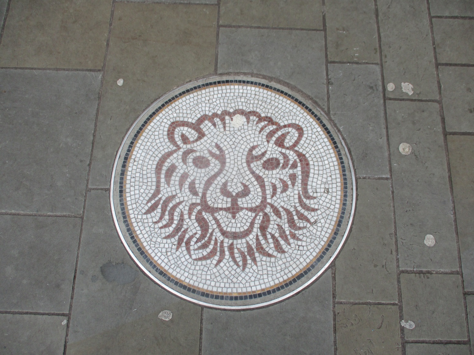
As well as a pub crawl, and a blue plaque trail, Wokingham has a ‘mosaic’ trail with mosaic laid into the pavements. We are quite sure, that in that not-to-distant future, these mosaics may well form an opportunity for another caching trail in Wokingham.
Our only disappointment of the morning was spending 15 minutes looking for a standard cache in one of Wokingham’s Parks. Sadly for us, the cache has disappeared and we registered a did-not-find. It sort of summed up the last few days in Wokingham – hard work, for very little gain.
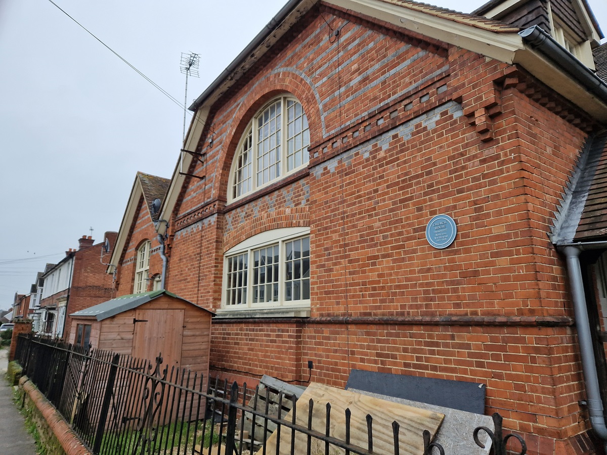
Wokingham has many interesting old buildings dotted about the town centre. Many are marked by blue plaques, which have their very own Blue Plaque Trail. For the geocacher, the information on the plaques lends itself for setting multicaches and Adlab caches – those where numbers need to be found, or things are to be counted, to use to calculate coordinates.
On a bleak day in early January, we set off around Wokingham to find some of those caches. Our initial plan was to look for two multicaches plus an Adlab and its associated bonus (physical) cache, since all were based around similar locations and some of the same blue plaques. It didn’t go at all well; doing three caches at once, we got mixed up, then found one of the stages in one multicache had a problem: the clue item was damaged. In the end, we said – finish the ad lab and go home and get warm. And that’s what we did.
It all got easier once we were doing one thing, not three, and weren’t struggling to enter coordinates into the GPS with freezing fingers. (FYI: AdLab caches work from a mobile phone and rely on proximity to the clue locations.)
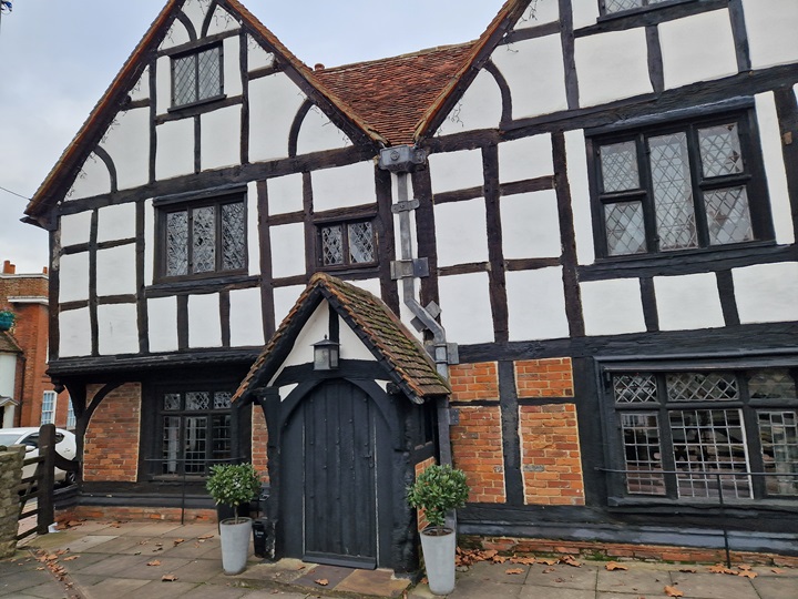
The Tudor House, Wokingham
We started at the Tudor House, once a 16th century mansion; more recently, it was a doctor’s surgery: Mr Hg137 remembers it well from his days as a Wokingham resident. Walking along Broad Street, we stopped at Nationwide Building Society. This has a blue plaque, not for its current use, but for a previous incarnation as a cinema, the first in Wokingham.
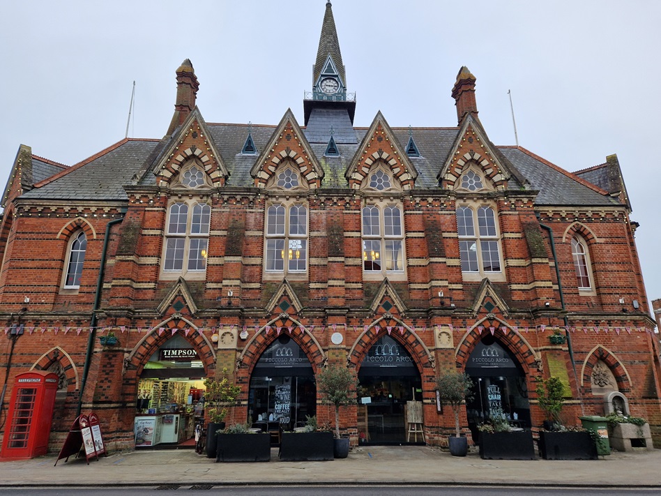
A short way on is Wokingham Town Hall, a place where we’ve both attended special things: weddings, funeral wakes, Mayor Making ceremonies and much else. Today we weren’t going inside, just inspecting the blue plaque and the water trough nearby (it’s now a planter).
Leaving the Town Hall, we turned into Rose Street, wide and lined with historic buildings. Another blue plaque awaited us near the far end, on a (small) residential house; this used to be a school with 12 pupils and a live-in teacher – it must have been quite crowded!
Just around the corner was the last blue plaque on our trail, placed to show off The Overhangs, some of Wokingham’s oldest buildings, which really do overhang one of the main roads through the town centre. Once again, the location had memories for Mr Hg137, as he used to work there in the mid-1990s (he tells me it’s modernised inside, it’s just the façade that retains the Tudor layout).
We sheltered from the wind and worked out the coordinates of the bonus geocache. Our GPS gave us a direction to travel in, and we knew how far away it was in a straight line from us, but we didn’t know exactly where it was. So we followed a not-so-straight line along paths, probably not the quickest way, through car parks, and along roads, to arrive at … a place near where a postman had chained his trolley! Oops, we didn’t want to attract attention by rummaging there! But all was well: a glance behind a nearby object showed us the cache, tucked away out of direct sight. Time was pressing now, our parking time was running out, and it was a speedy walk back to the geocar, and home for a warming cup of tea.
A morning of reminiscing for Mr Hg137 who used to live about a mile or so from Buckhurst Meadow, on the outskirts of Wokingham. Back then the area was known as Buckhurst Farm and in the late 90s, the area could have been made the stadium for Wokingham Town FC. Instead local residents complained, the football club move was vetoed, and an estate of 620 houses was built.
As well as the housing estate much of the farmland has been turned into a 30-acre country park ideal for walking around and of course geocaching!
Normally our diaries are quite busy on a Thursday, but today, a few days before Christmas, our bookings had been cancelled – do we need a better excuse to go geocaching ?
Well the weather could have been better ! A misty, murky day greeted us as we set out. The December rain had made much of the grass very wet, but the paths otherwise were more or less good. Occasionally we stepped away from the path to find a cache.
The first cache brought back memories of the first cache we found just 5 days previously. Tucked near a post, behind a bramble bush. Fortunately this time the bush was relatively easy to lean over, yielding us a quick find.
Most of the caches we were looking for were set by local cacher, Mikes54, who gives very specific hints. We were grateful of this at the next cache where we had to find a cache at the base of a tree – the hint made sure we looked at the correct one from a choice of 4! We couldn’t grab this cache immediately as the tree was close to an intersection of footpaths, and a constant series of dogwalkers!
Fortunately our next cache took us away from the dog-friendly footpaths and into a hazel coppice. Here we had not only had to find a ‘knobbly tree’ but then count coppiced hazels to find the cache. We were grateful we hidden from prying eyes when we did this.
The Mikes54 caches had all been placed barely a month before our visit, but our next cache was much older having been placed in 2009. This was deep in area called ‘Big Wood’ which straddles the Wokingham and Bracknell boundary. We found some caches in the Bracknell side of Big Wood back in September 2022. The 2009 Wokingham cache was a quite easy find, albeit the GPS was 30 feet out. (We do find that the older the cache, the less accurate the GPS is – any ideas why ?)
We returned to Buckhurst Meadows and we should really have read the cache notes before we headed for cache 4 in the series. It advised, that after heavy rain, from cache 3 we should walk into the centre of the park via the central butterfly statue and take a different path to cache 4. We didn’t, and soon discovered the perimeter path was underwater. We waded through and around the puddle-cum-lake to arrive at a seat near Ground Zero. We gave a quick search for the cache but couldn’t find it. We saw a ‘cache-size hole’ at the front of a tree, and assumed the cache was missing. Then in the gloom, 300 yards away we saw a dog-walker approaching. Should we move on ? Continue searching ? The man turned away, and we resumed our search, and after few more minutes we had the cache in hand.
Our final cache in the Buckhurst Meadows series was closer to the car, so we took a path out of the meadows, passing a playground, a school and a pond. We arrived at Clay Lane – an enclosed wooded footpath Mr Hg137 remembered well as he sometimes walked their family dog there. Unsurprisingly, the lane had altered slightly in 40 years, many of the saplings had grown, the new estate provided less tree-cover on one side. On the other many of the gardens set back from the tree-line now had gates giving access to Clay Lane and Buckhurst Meadows.
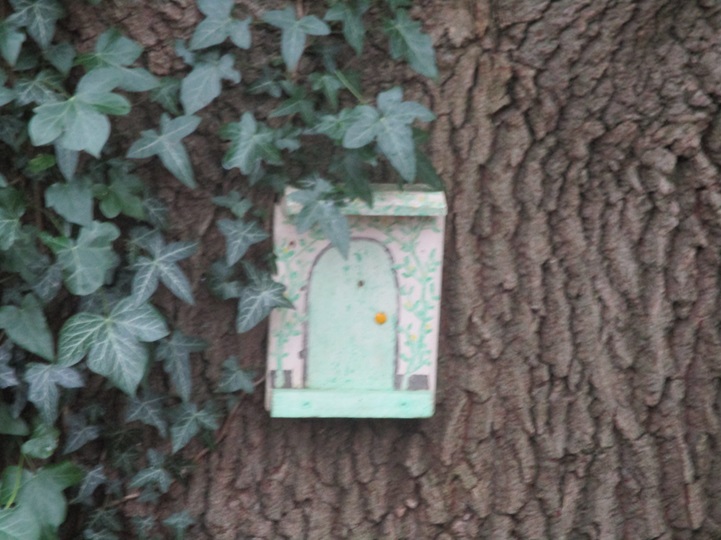
In those intervening years, fairies have visited Clay Lane too. Their tiny houses nestled at the base of trees. We were admiring many of them… and walked by a cache. After walking a few yards, we retraced our steps, and after quite a lengthy search -found the cache. Another old cache as it placed in 2008!
We returned to Buckhurst Meadows and found the last cache snugly hidden behind a lifebuoy post, again near a junction of footpaths – so stealth was needed.
Close to Buckhurst Meadows were 2 more caches – both near the busy A329M. The first in a cul-de-sac that led to a hotel (in Mr Hg137’s time, the hotel was a nunnery!). The GPS wavered here but we soon found the tree the cache had been placed behind.
We crossed the A329 to find a most unusual cache called “It’s a Letterbox”. Letterbox caches, are named, after the ‘letterboxes’ found on Dartmoor. Geocaches of this type tend to have an ink stamp inside. The size of letterbox caches tends to be slightly larger than average, to accommodate the ink stamp, but the size of this cache caught us by surprise!
Normally we drive to our caching venue for the day, very occasionally train – but never by bus.
We noticed that every Saturday during December 2023 the buses in Bracknell were free, so we travelled by bus. We must have been the only travellers who knew the fares were free, as several people boarded the bus on our 30 minute journey offering money!
We had chosen a few caches on the borders between two of Bracknell’s housing estates, Great Hollands (where the bus route went!), and Jennetts Park.
Our first cache though commemorated when Bracknell was predominately woodland. “What’s Left of the Waterhams” was hidden in a small copse separating the two housing estates. Although Bracknell still has a high concentration of trees, before it was designated a New Town in the 1950s/1960s, much of what is now Bracknell was a large wooded area. Waterhams Wood was part of that area.
The Waterhams Wood cache was placed in 2020 and took a bit of finding. We had to cross a small ditch, covered by end-of-season brambles, and search the roots of various trees. The GPS wouldn’t quite settle and we spent some time peering at various roots, where we thought a cache would have been placed. The cache was nestled in a very small roothole, but in the six months since the cache had been last found, it had become encased in mud, now stiff by the overnight frost, and was tricky to remove. It took some effort, and three or four sticks to eventually retrieve the cache!
Pleased with our efforts, we headed away from Great Hollands and into Jennetts Park. We have cached in Jennetts Park before, but never from this direction. After walking past an interesting flower sculpture we arrived at a different copse, Tarmans Copse. Here we stepped away from the path, and searched some ivy for a simple hanging cache. We dislike ivy, but this cache was relatively easy to find.
As we stood behind the tree, away from the footpath, a father and young boy scuttled by. They entered the bushes away from us on the opposite side of the path. We signed the cache log and replaced the cache unseen. Then a mother and daughter appeared, the father and son lurched out of the undergrowth as a ‘surprise’! Great family fun – we watched as the family were reunited. It was then the father caught our eye, and he realised we had seen the whole childish episode!
If that cache had fun, the next cache had jeopardy. The footpath from Tarmans Copse continued through more woodland. Houses could be seen through the trees, and in the distance the sound of chain saws. A working party from the Hedgerow and Woodland Conservation Society were pollarding trees, and creating hedge structures from the branches – fantastic for nature – not so fantastic for caches. The cache was positioned a few yards from the hedgerow group, but an hour later the cache would have been unfindable.
(Postscript : Despite informing the Hedgerow group of the cache, showing them the cache, and asking them to preserve the hiding place, the area around the cache has significantly altered and the cache has been lost).
Our final two caches were incident-free. Only our ineptitude at finding the correct host in both cases prevented a quick find. The first was hidden in some large tree roots, a relatively large space, and the small film pot was well wedged in a corner. The last cache was hidden in an 8-trunked tree. We were initially confused as we walked by the tree, discounting it as the host as it had 9 trunks! Once we had returned to the tree – the cache was a very quick find.
All we had to do was head back to Great Hollands for the next bus home!
An enjoyable caching trip, with a bus journey as an added feature!
The rain had subsided. The roads were less flooded. It seemed a good day to complete the Yateley Lakes series that we had started 4 days previously.
We had 3 Yateley Lakes caches to find, a couple of stages from a 5-stage ad lab, and one other cache part of the 50+ cache Drive By series. We could have driven to this cache ourselves, but it was only a short walk from one of the Yateley Lake caches, so we decided to include it in our morning’s walk.
We parked the car in an almost identical spot to our previous visit, and Mrs Hg137 set about getting the ad lab started on her phone. For some inexplicable reason the ad lab wouldn’t load, so she resorted to the standard IT maxim ‘ turn it off, and on again’. While this process was happening, we took the liberty of locating a Yateley Lake cache positioned just outside the car park. We stood where there had been 2-3 inches of water a few days ago and picked up various items. Remembering that the caches were set by VR7, the cache could have been anything – and eventually we realised we had the cache container in our hand, more by luck than skilful searching.
We hastily replaced the cache, as a car swung by us, and drove into the car park.
By now Mrs Hg137’s phone had come alive, and the ad lab application was good-to-go. As we walked back into the car park, and neared the ad lab question location, the driver of the car shouted at us “I know what you are doing!”. Yikes ! We had been rumbled!
But no, it was another geocacher, fennyflip, awaiting a friend, who he was going to introduce to geocaching. We chatted awhile, until his friend arrived. They set off following the lake one direction, and we left in the other. We admired the ‘watersports’ section of the lake – no foolhardy watersports enthusiasts today – and completed our final ad lab stage, and headed for our penultimate Yateley Lakes cache.
This one was hidden near a footpath crossroads, and it was quite busy. We initially searched the wrong side of the footpath, and paused for several minutes while various dog-walkers went by. After a few minutes we spotted a likely hiding place which required us to undertake some determined effort to release the cache. Our determination couldn’t have been that great, as we failed to release the cache, and we assumed our thoughts were wrong. After a few more minutes fruitless searching, we re-tried the hiding place, and this time we were successful. Log signed, we headed off, uphill, to the ‘Drive By’ cache..
Our route took us away from the semi-gravel track around the lake, to a grassy slope. After the rain, the grass was muddy, and there occasional ‘marshy’ sections we had to walk around. We passed a couple of people on the way up the slope, and we exchanged pleasantries and swapped advice on how to avoid the mud!We arrived at a road – quite handy as we were looking for a Drive By cache, and spotted a tree, the host, a few yards away. However as we made our way to the tree, a gentleman with a dog came out of the adjacent cottage. We stared at us suspiciously. We decided to feign a navigational error, paused, consulted phones and maps and walked the other way – all the time being watched by the gentleman and his dog. He walked away, and after a while, we saw the gentleman disappearing round a bend in the road, giving us a ideal opportunity to grab the simple cache.
We walked back down the muddy slope, this time aware of all the muddy sections, and found a simple footpath to our final Yateley Lakes cache. Again a sneaky hide, but visible in plain sight.
It was a shame we broke the series into two trips, but given the volumes of water still lying close to the footpaths, we knew we would have got very wet had we continued on our first visit.
If you want to find some clever hides, hidden in tranquil scenery, do attempt the Yateley Lakes – but do visit when the weather is dry!
A new-ish series had been placed around Yateley Lakes. This is an area we have walked and cached several times. It seems a popular place for a cache owner to place a few caches, leave them in place for a couple of years and then remove them, allowing the space for other caches to be placed.
We had previously found two of the Yateley Lakes caches in 2018 and 2021, but now there were another 10 to find.
The River Blackwater runs parallel to the Lakes, and perhaps it was not a good idea to undertake a series so close to a river and lakes the day after 2/3 of an inch had fallen. Hindsight is wonderful.
Alarm bells started to ring as we drove to the car park near cache 1. Farmers’ fields were awash and the water was flowing from the fields across the road. As we approached the car park we saw a sign saying it would closed the following day, but it was padlocked shut today as well.
One of the drier road sections!
We had one other alternative, to drive back through the flooded roads, to another car park. This one was closer to cache 12. As we approached the car park the roads were even wetter as roadside ditches had overspilled their banks. We also noted that 3 caches we were due to find were along this flooded section.
We decided to start the route, and would abandon if the riverside paths were too submerged. We also decided to miss the caches near the flooded road section.
The caches were set by local cachers VR7, who are frequently devious in their choice of containers and hiding place. Given that Yateley Laeks is a popular area for walking, this is no bad thing – it just meant we wouldn’t have any ‘quick finds’. We also had a 5 stage ad lab to complete, though we noted a couple of the sections were closer to the flooded road, so again we decided to move these stages to a subsequent visit.
View from inside a bird hide
Surprisingly the paths around the Lakes were easy to walk around. A couple of large puddles here and there, and one very long muddy section where we had to navigate by and avoid the nearby barbed wire. Otherwise our sturdy walking boots were ideal.
As we expected the caches were ‘devious’. Sometimes the hints were misleading – “I’m next to a Multi-Trunked Tree” was one such hint. The GPS led us to a large tree where the cache would have been placed by most other owners. VR7 had put the cache next to a much, much smaller tree about a yard away! We spend ages here as we did at several other caches.
The ad lab stages were far simpler, a quick question – sometimes involving counting, other times noting names from a memorial bench.
Lots of information boards – useful for ad lab stages
Soon we were approaching the lowered numbered caches and we saw a couple walking towards us. They had parked in the car park which we thought was locked. It was, but it is generally unlocked from 930… we were there at 920! The approach to the car park from the River Blackwater is along a footpath on one side, a hedge in the middle, and a bridleway on the other. The caches we had to find were invariably on the wrong side of the hedge, so some backtracking was needed.
We were surprised to see a birdbox close to cache 1, and assumed this to be the cache. It wasn’t and a bird flew away as we approached. We are sure many other cachers would make the same mistake, and the cache owner has changed the hint, so that the birdbox is ignored.
Sadly the route is not totally circular – and we headed back to cache 12 taking one diversion to cache 7 (the easiest cache of the day) situated partway between 2 lakes.
With hindsight we could have completed the series, but we had mentally said ‘park the rest for when the conditions are drier’, so we drove back, through the slightly dropping water levels back home.
After a very wet few weeks, a countryside geocaching trip was not really an option (way too muddy!). As an alternative, to find a 5-stage Adventure Lab (AdLab) cache based around Sandhurst Memorial Park and Shepherd Meadows. We hoped we would stay dry!
How AdLab caches work: Using your mobile as a GPS, you find your way to various locations, then answer a question which your phone reveals once you are there. After visiting all the locations, that completes the AdLab cache. It’s similar to a multicache, which offers up clues and numbers at each stage. But … why can’t you cheat? And find out the information without being there? Well, the question isn’t unlocked until you are very close indeed to each location, and they are usually about things only visible once standing on the spot.
Shepherd Meadows and Sandhurst Memorial Park cover 68 hectares (169 acres) of wet meadows (not too wet, we hoped!), woodland and recreational green spaces. We decided to start the AdLab in the Memorial Park, then work our way into Shepherd Meadows, and along the River Blackwater.
Sandhurst War Memorial
Our first stop was the War Memorial, where we needed to answer our first question. Today was Remembrance Day, and all was tidy and quiet. It would be much, much busier the next day, Sunday, when the Remembrance service would take place. As Sandhurst is the home of the Royal Military Academy, this event is always well arranged and well attended.
Heave-ho! Tug of War practice weights
Passing the Community Hall, we walked on, very gently downhill, along the side of some of the football pitches, heading for the area where Sandhurst Tug of War team practice. The team have been 3 times World Champions, 2 times European Champions and 8 times National Champions! We needed to look at the structure used by the team for training, a metal tower with very heavy weights attached. The uphill end of the fields had been … damp, while the downhill end, nearer the river, was … boggy. We both kept our feet dry, but only just.
Bracknell Town FC, Bottom Meadow
We were right next to the shared ground of Sandhurst Town and Bracknell Town football clubs. They play at the aptly named Bottom Meadow; a match was in progress, and, from the shouts, Bracknell were doing well; we later learned that they beat Chesham United 4-0. Well done to the Robins!
We moved on to the Balancing pond, a small lake used for the temporary storage of excess storm water after periods of heavy rainfall. It was doing its job today, as the path round one side of the pond was underwater. We needed to look at something near the pond for our next location – hmm, it was just visible without paddling; once again, our feet just stayed dry.
From here, we walked out into Shepherd Meadows, crossing the River Blackwater and walking along the Hampshire side of the river (the river is the Berkshire/Hampshire county boundary).
We had one more structure to inspect along the riverbank, then it was out to the main road to inspect the Sandhurst Millennium sign, just as the daylight began to fade. Job done, AdLab completed, and a not too wet walk across a variety of terrain.
Finally the sun came out. But it had rained on each of the last 13 days – a total of 78.6 mm or 3 inches – and everywhere was waterlogged. Where could we go, and have a chance of staying mainly dry? We chose Ockwells Park which lies to the west of Maidenhead, just north of the M4 and just west of the A404M. Some of the park was once part of the Ockwells Manor Estate, and the manor house can be seen to the west of the park. The park opened to the public in the 1980s and now includes a café, a large play area and sports pitches for softball and baseball. And for us, our research also showed that it had well-maintained tracks and paths, a large free car park, and lots of parkland / woodland / nature reserve where a set of geocaches could be found.
Our first geocache the Ockwells Park Mystery geocache, lay just outside the park. We’d done the vaguely literary puzzle beforehand and we duly found the cache. But oh dear, the log was really wet. Mr Hg137 suggested drying the wet log in the warm geocar, and we would replace it later. We left a small piece of paper in the cache as a temporary log.
Ockwells Park play area
Back in the park, we set off on our geocaching route. We started off near the café and play area, then walked further on into the wilder area which is a nature reserve. After walking along firm tracks, we ventured into waterlogged fields and then onto a puddly track which led close to Ockwells Manor. The original Manor House was built in the 15th century using wood from oak trees grown in Windsor Forest, which at the time stretched as far as the park; it was offered to the National Trust in the 1940s, but they turned it down. Walking up the track, we paused to look at the manor, in the middle distance past a field with grazing horses. And a tank. A full-size military tank. “What about the tank?” I asked Mr Hg137. “What tank … oooh!” he replied. He hadn’t spotted it!
We left the incongruous metal object behind us, and moved on. We were doing well, but we had slight worries about the next geocache, Hang tough! One of us is old enough to remember watching (the original) ‘Gladiators’ on TV and was nervous that something like the ‘Hang Tough’ round in that game would be needed. Fortunately no dangling from anything needed for us today! Our walking pole was enough to lift down and replace the cache – no swinging in trees needed.
Birdbox? Or Geocache?
We made a brief foray south, over the M4, to look for more caches along a footpath between some very posh houses. One was in a fake birdbox – well, we weren’t absolutely certain it was fake, so opened it very, very carefully – but no bird had ever used this (phew). Then back across the motorway, and into Little Thrift Wood at the southern end of the park, where our route led us along a path just a fence away from the motorway (and actually not very noisy). After looking for two more caches we walked back into the park area.
It was wetter at this end of the park, and had probably been underwater only a day or two before. We ended the walk with dry feet, but muddy trousers, having explored a little area of parkland and open country that we’d never even heard of before, let alone planned to visit. And what of the soggy geocache log from the start of the day? It had spent the day in the sunshine inside the car, and was dry when we returned. We revisited the cache and replaced the official log, now dry (and no-one had signed our temporary log while we were away!).
Binfield is a small village/town, a little like Sandhurst, which is part of Bracknell. A new-ish series had been placed on the footpaths and tracks to the North of the Village. The series owner, GilDean, lives in Binfield, hence the name ‘Home Turf’. But, this was a puzzle series too.
Every cache name was an anagram of a film star, some current, some from former times. Not being film buffs, we had to work hard at each anagram as the brief film role biography was occasionally alien to us. Examples of the anagrams included BARRELED TRUG, YUMA RECALLING and MONKS HAT (Answers at the end of the blog). Having solved the anagram we then had to ascertain a key date in that person’s life, and use the digits from the date to derive coordinates. There were 21 caches in the series, so quite a lot of anagramming and googling before we even found a geocache.
Parking in Binfield is limited, so we parked in a residential street, and were greeted by… Mr Potato Head!
Apparently over the next week, Binfield would host a scarecrow competition/walking trail. Residents were invited to place a decorated scarecrow, near their property. We saw a couple of scarecrows as we left the car, several others as we approached the centre of Binfield, and also when we returned to the car much later. A lot of ingenuity and fun – well done Binfield.
As for the caching we found cache 1, quite easily, though there were several metallic places a ‘magnetic’ item could have been placed. We took a short diversion to the village centre to find our only non-‘Home-Turf cache of the day, before resuming the film star series.
Saturday morning is clearly dog walking time, and the first few caches were placed near a popular dog-walking route. Stealth was definitely needed as we retrieved magnet caches from signs. hanging bison-caches from trees, and one we never did retrieve as it was wedged behind some broken concrete. When we mentioned this to the cache owner he granted us the find, as the cache was impossible to retrieve, mainly due to the over-zealous placing by a previous finder. There was one other cache we couldn’t find, and this was due to a footpath gate being temporarily closed and access to the cache was impossible. Again the cache owner granted us a find. Thank you GilDean!
The dog-walkers became scarcer as we headed further away from the village, climbing slowly up a muddy track. Caches were placed at regular intervals and one was placed near to a seat, exactly half-way round the route. How convenient and thoughtful!
Most of the caches were quite small, but a couple of the caches were big enough for trackables, and we dropped off two, Ezra the Eagle and Polly the Parrot and found another two to replace them.
Most of the caching trail was on footpaths or tracks, but there was a short section of road, with a surprising amount of traffic. There were caches on this section too, and stepping away from the traffic to hunt for a cache behind a tree, provided welcome respite.
As we turned away from the major road, and onto a minor road, two horses went by. We were accused of startling the horses! We still don’t know why ! The minor road was close to Billingbear Polo Club and it was here a polo ball had been used as a cache container. (About a year previously we had undertaken the Oh Balls series, by the same setter, and we suspect this cache container may have been left over from that route). Mr Hg137 jumped over a ditch, collected the cache, and threw the ball to Mrs Hg137 to sign the log.
The hint for this cache had specifically stated ‘Be Stealthy and Careful’. A van was parked opposite, with its engine running but had no-one in the cab, we were in in the clear….except….just as Mr Hg137 threw the ball across the ditch, a group of 8 walkers strode round the nearby bend in the road. We nodded to the first seven of the them, giving the appearance that ditch jumping whilst holding a polo ball is a natural thing to do. But the 8th person, said ‘What are you doing here?’ It was our neighbour from home, and we were standing closer to her, than our houses are! Fortunately her walking group had now pulled away, and we never did explain about the ditch, the polo ball and the tiny sheet of paper inside.
Polo Ball Cache
Our route now took us back towards Binfield, crossing fields, and passing isolated houses. A small smattering of caches to find, as this part of the route coincides with another puzzle series and the minimum distance between caches (1/10th of a mile) was being strictly adhered to.
As we skirted round a field, we approached probably the best cache on the circuit. It required more ditch jumping by Mr Hg137 – a bit wider and far more slippery than the polo ball cache, and then a search. We were advised it should have been visible from the field-side, but we couldn’t see it. Eventually Mrs Hg137 crossed over too, and we wandered between trees, looking for the cache. Then we saw it, one of our favourite types, a ‘pulley’ cache. We had to lower some rope to lower the cache. Sign the log, and return the log to its lofty position. Easily done… we even survived the second ditch crossing too!
Pulley Cache
After a cache hide that we really enjoy, came a cache hide we really hate. In ivy. Normally ivy hides take ages, but Mr Hg137 found the cache in what for us was a record time (less than 2 minutes!).
A short walk led us back to the car, pausing to search for our last caches of the day.
A very good route, a great variety of containers, and a little brain exercise beforehand to balance the 4 mile walk in Berkshire Countryside. Thoroughly recommended. Here are a few of the standard caches we found :
PS Did you work out the film star anagrams ? Here are the answers : GERARD BUTLER, CAREY MULLIGAN, TOM HANKS.