Hello, Mrs Hg137 here.

First of all, a disclaimer: if you are planning to find any caches along this route, just be aware that there are spoiler pictures in this blog post … especially of one particular puzzle cache that you mightn’t want to view if you are planning to tackle it yourself.
Time for the last section of the South Downs Way … though I said that before, back in August, when we reached Eastbourne. But we hadn’t walked every bit of it yet. The route splits into two sections at Alfriston; the footpath section goes south along the Cuckmere valley, then along the coast over the Seven Sisters. The bridleway section stays inland, passing through the village of Jevington before climbing onto the downs near Beachy Head and joining the footpath at Eastbourne. We walked the footpath part last time, so today we were going to walk the bridleway. So, once again, we set off from Alfriston, crossed the large white bridge over the small, tidal river, then continued ahead along the bridleway. A little way ahead was our first cache, Plonk Barn, hidden in trees behind a redundant barn, now converted into an upmarket house with a more upmarket name, Long Meadow Barn.

Up the hill …
Then it was a long and steady climb uphill, from virtually sea level at the River Cuckmere to 188 metres (617 feet) at the top, above the white figure of the Long Man of Wilmington. There were a couple of caches on the way up, one of them a travel bug hotel. Standing a little way from the cache site, looking at the two trackables we had picked up (both miniature cars) we were hailed by two muggles, walking up the hill after us …”You must be geocachers!”… Oh dear, we’d been rumbled. It turned out that the pair weren’t cachers themselves, but their daughter is, and they sometimes go out with her, so they knew exactly what we were doing!

… and on up the hill
A South Downs Rangers’ Landrover overtook us on our climb, and we caught up with it, parked, at the top of the hill. The rangers were taking customers on a day out, conducting a butterfly survey, followed by a picnic https://www.bn1magazine.co.uk/south-downs-national-park-ranger-experience-review/

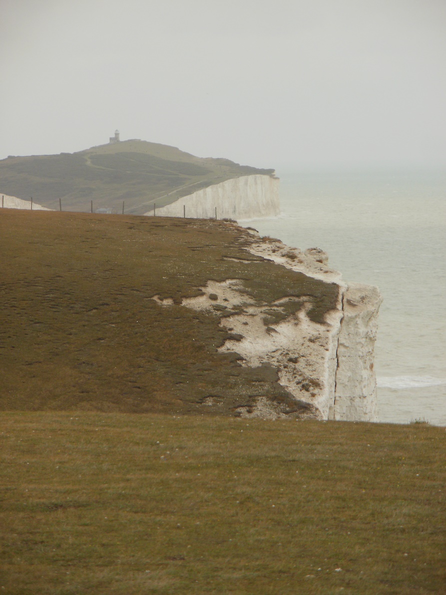
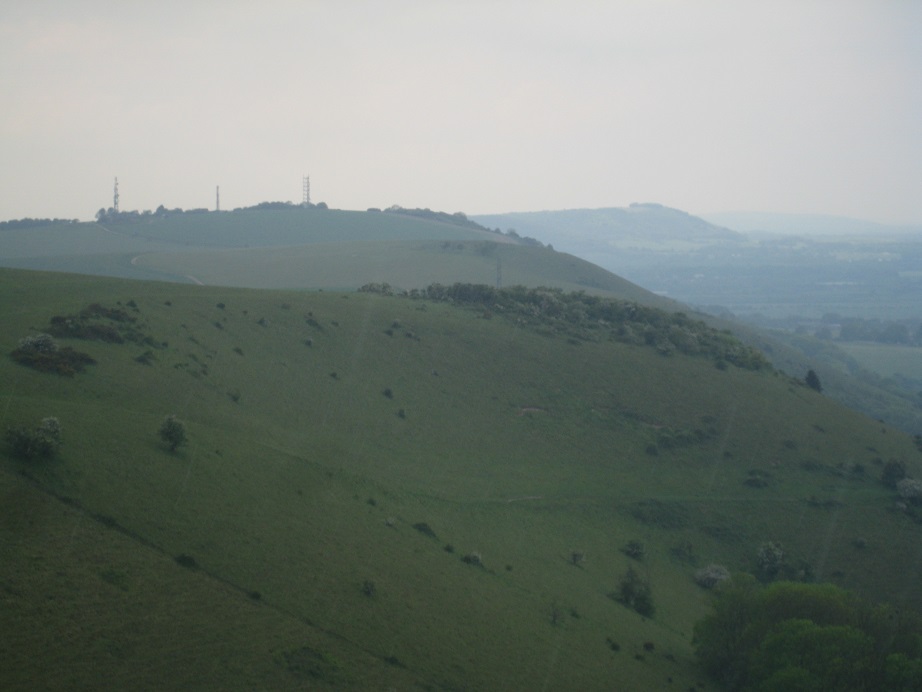
View from Windover Hill
Anyway, it meant they weren’t watching us, as we had an earthcache to solve, based on the Windover Hills Flint Mines and a with great view out across the Weald https://historicengland.org.uk/listing/the-list/list-entry/1014631

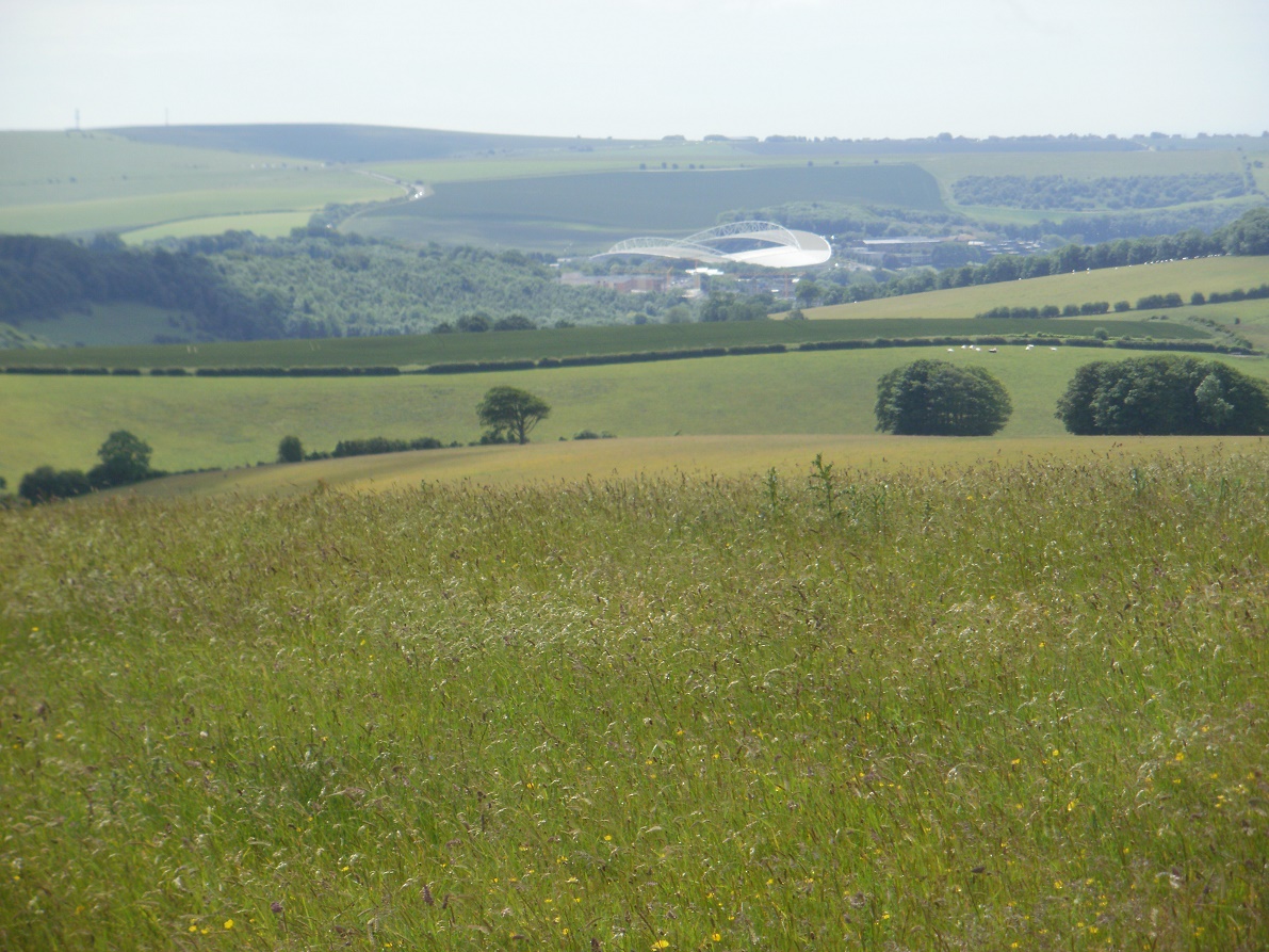
Then we went on over the grassy hills to Jevington, with great views out to the south and glimpses of the sea, finding more caches as we went, passing walkers, cyclists, and a group of DofE participants as we went – this group were well on time and knew where they needed to go to finish the day’s walk – other groups we have met this year have not been so organised – we have found misplaced paperwork and mislocated participants!

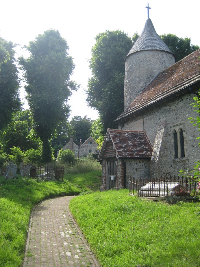
Descending a steep, wooded track into Jevington, we arrived at the church and the small car park by the church meant it was suddenly busy with cyclists, dog walkers parking cars, and a walking group, but all this activity meant that we could search for the cache nearby without being noticed – everyone else was just too busy. The cache (and trackable, third of the day) were quickly found, and then we had a look around the churchyard, a nice peaceful place. Two notable things about the church at Jevington: it has a tapsel gate – which is hinged in the middle, not at one side, and there are only six in Sussex/the world – and it is the burial place of Lord Hartley Shawcross, chief prosecutor at the Nuremberg war trials. http://wealdanddownlandchurches.co.uk/jevington-church/

Something else notable about Jevington: out on the main/only street is a blue plaque celebrating …Banoffi Pie, which was invented here in 1972 at the Hungry Monk restaurant (I bet you thought it originated in America, didn’t you?) Here’s the original recipe, which sound a bit dangerous if you get it wrong: http://scrumpdillyicious.blogspot.com/2012/09/banoffi-pie-original-hungry-monk-recipe.html

We were quickly out of the village, it’s not very big, and climbing back up onto the top of the downs. There were plenty of people around – charity walkers, walking groups, more charity walkers, these ones in training, dog walkers – the last time we did this walk, in late July 2011, we had seen one or two people, but today we had seen about a hundred and fifty, including a walking group of THIRTY-SIX! We found no caches on our climb – some we simply couldn’t find, and one because we surveyed the rampant, stingy, sticky, prickly vegetation in front of it and decided we simply weren’t up to it!

In there ??? No way !!!
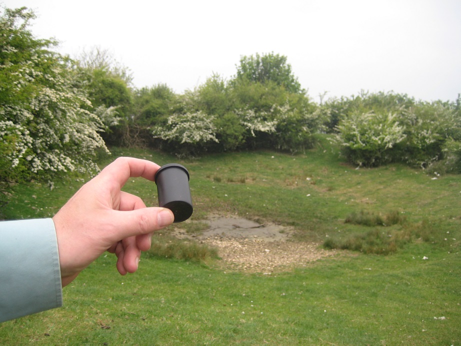
At the top of the hill we found a cache which put our failures on the climb into perspective. It was called South Downs Puzzle #2 and it was just that. The outer container wasn’t especially hard to find, but inside, protecting the log, was a puzzle, one involving a ball-bearing and a 3D maze. We both had a try at the maze and managed to get everything into the right place after a few minutes of twiddling and turning.

We found another three caches as we made our way across the downs, including another trackable, our fourth for the day (a record, we think), crossing a golf course and the road leading to Beachy Head. We reached the final dewpond of the day and for the route as a whole; this was where the South Downs bridleway used to go down the hill and end with a mile of roads in Eastbourne. But it’s been re-routed (good idea) and it now makes its way along the edge of the downs before turning steeply downhill to meet up with the footpath coming along the coast. We arrived in the early evening now, and the shadows were lengthening.

The final dewpond

Nearly there!
We’d finally finished the whole of the South Downs Way for the second time. Whoop, whoop! We had a brief celebration at the end marker, then returned to the geocars for the long drive home.

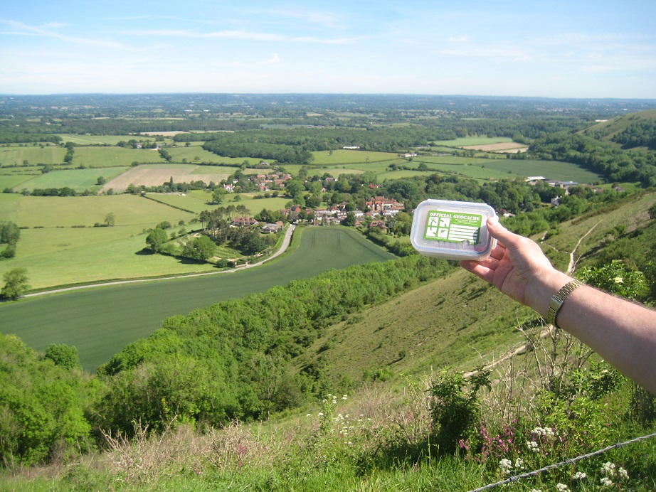
And here are some of the caches we found: